
Best Sunrise Hikes in Oregon: Top Trails, Views, and Planning Tips
Oregon gives you four very different kinds of morning light within a few hours’ drive. The right pick comes down to where you live, how far you want to walk, and whether you’re willing to start in the dark.
For most beginners, Trillium Lake near Government Camp offers the easiest sunrise payoff in the state: a nearly flat 2-mile loop with Mount Hood reflected in still water, a parking lot right at the shoreline, and no climb to make in the dark. From there, the options get harder quickly, from Powell Butte on Portland’s east side to Misery Ridge at Smith Rock and the headland climbs on the coast.
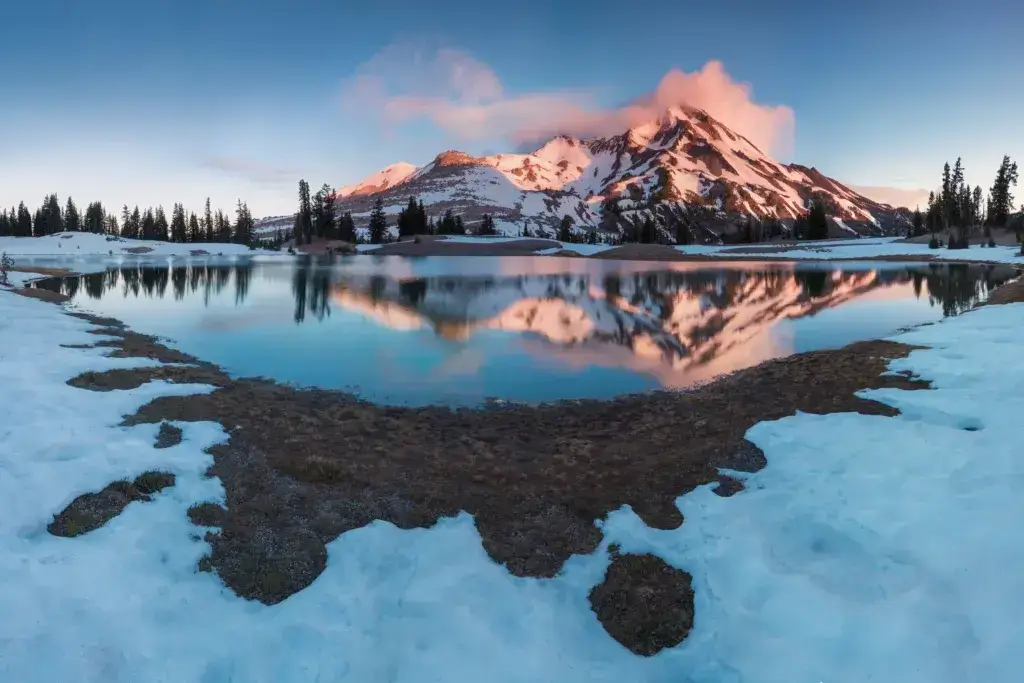
The pattern holds statewide. East-facing viewpoints in the Columbia River Gorge light up first, while Mount Hood’s alpine lakes catch the alpenglow on the peak as you stand in shade. Central Oregon’s high desert turns copper for about twenty minutes.
On the Oregon Coast, you watch the light hit sea stacks from behind you. That’s its own reason to set an alarm.
Sunrise hiking in Oregon also solves two practical problems: parking and crowds. Popular trailheads that fill by 9 a.m. in summer sit half empty at 5:30 a.m., and many of the best spots cost nothing beyond a parking pass.
If you want more route ideas and gear breakdowns as you plan, browse our hiking guides and pick a route that matches the morning you can realistically pull off.
How to Choose a Sunrise Route That Fits Your Morning

The distance you can cover comfortably in the dark, with a headlamp and cold hands, is shorter than what you’d pick for a midday hike. A route that feels moderate at noon can feel long at 4:45 a.m., so I usually recommend choosing something one difficulty level below your normal day hikes.
Save the big climbs for later starts. Your legs, and probably your mood, will appreciate it.
At-a-Glance Sunrise Hiking Checklist
Run through this list the night before:
Plan your Leave No Trace basics: pack out everything, stay on the trail, and keep noise down at shared viewpoints.
Which Routes Are Best for Beginners?
Flat lake loops and short paved viewpoints make the best starting points. Trillium Lake, Powell Butte Nature Park, and drive-up spots like Vista House put you in position for sunrise without asking you to navigate switchbacks by headlamp.
Two things make a route beginner-friendly at dawn. First, you want a wide, obvious trail that you can’t lose in the dark. Second, the approach should be short enough that you can turn around easily if the weather changes or somebody’s headlamp dies.
A one-mile approach gives you an easy bail-out. A four-mile approach doesn’t.
If you’re newer to trails in general, our beginner hiking tips cover pacing, footwear, and the basics worth nailing down before you add darkness to the mix.
When Should You Start Hiking Before Sunrise?
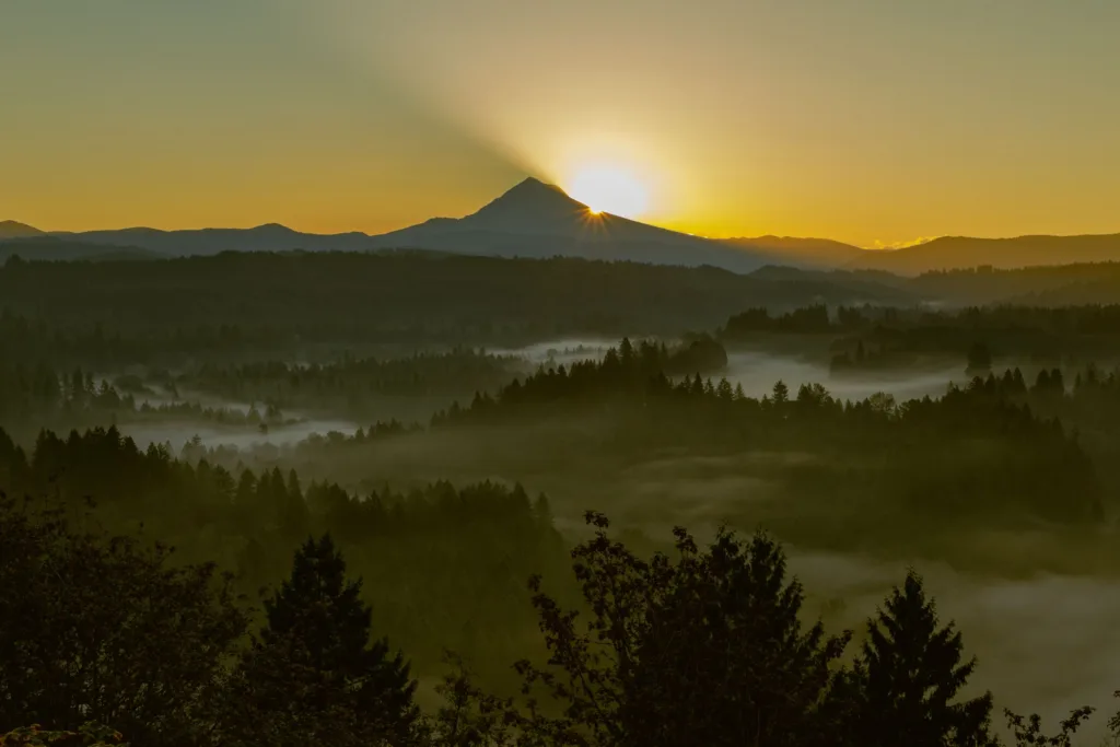
For a short route, start hiking about one hour before the listed sunrise time. Add the full estimated hiking time on top of that for anything longer.
Here’s the math that works. If sunrise is at 6:15 a.m. and a 1.5-mile approach takes 45 minutes, leave the trailhead around 5:15 a.m. That gets you to the viewpoint with 15 minutes to settle in before the sky starts changing.
The cushion matters because many Oregon viewpoints get their best color 15 to 30 minutes before the sun clears the horizon, during the stretch photographers call golden hour’s early edge.
For a summit climb like Tumalo Mountain or Tom, Dick and Harry Mountain, work from your realistic uphill pace. Most hikers move slower in the dark than they do on a marked daytime trail.
Hikes vs. Roadside Viewpoints: What Is the Difference?
A roadside viewpoint gets you to the view with no walking and no headlamp. Vista House in the Columbia River Gorge, Rowena Crest, and Paulina Peak’s summit road all fit this category.
You don’t have to spend much energy, and these spots work well with kids, older family members, or anyone who wants sunrise without an alarm-clock hike.
A hike usually buys you more solitude and a wider view. The trade is dark navigation, real elevation gain, and a route you need to know well enough to follow by headlamp.
| Roadside Viewpoints | Sunrise Hikes | |
|---|---|---|
| Effort | None to 10 minutes walking | 30 minutes to 3 hours |
| Gear needed | Warm layers | Headlamp, layers, traction in winter |
| Crowds at dawn | Light to moderate | Usually very light |
| Weather bail-out | Immediate | Depends on trail length |
| Typical cost | Free or small day-use fee | Often a $5 day pass |
A reasonable compromise is to drive to a viewpoint for your first dawn outing. You can see how the light behaves in that area, then come back for the trail version once you know the terrain.
Portland and Columbia River Gorge Dawn Options
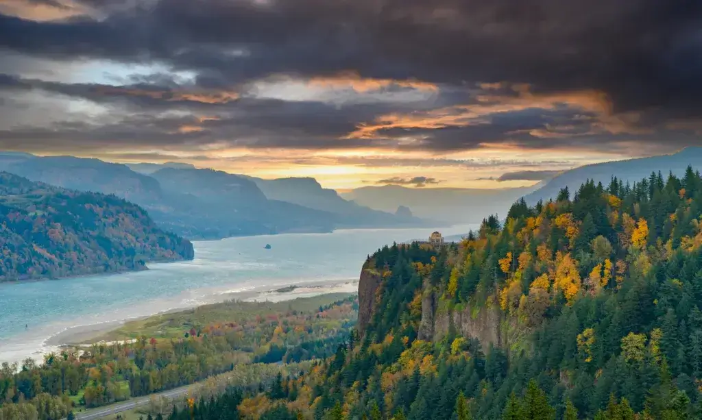
Portland sits within about 45 minutes of some of Oregon’s most reliable sunrise terrain. The Columbia River Gorge points east by definition, so the whole corridor faces the rising sun.
City buttes give you a free, five-minute option, while the Historic Columbia River Highway strings together drive-up overlooks and trailheads along one road.
Powell Butte and Rocky Butte for an Easy Portland Start
Region: Portland | Difficulty: Easy | Cost: Free
Powell Butte Nature Park sits in Southeast Portland, with a wide network of mostly gentle trails and a summit meadow that opens toward the Cascades. On a clear morning, you can pick out Mount Hood, Mount St. Helens, and Mount Adams from the top.
The paved Mountain View Trail keeps things simple in the dark.
Rocky Butte in Northeast Portland is the shorter option. You can drive nearly to the top and walk a few minutes to the stone Joseph Wood Hill Park overlook.
From there, you get a wide sweep over the city, the Columbia River, and the Gorge entrance.
Timing and parking: Powell Butte’s main gate on SE Powell Boulevard opens on a posted schedule, so check current park hours before planning a pre-dawn arrival. Rocky Butte’s road access is more forgiving for very early starts.
Dogs: Powell Butte allows leashed dogs on designated trails. Check the current Portland Parks & Recreation rules, since some trail sections have restrictions.
Main caution: Both spots are urban. Don’t leave anything visible in your car.
Vista House and Portland Women’s Forum for Drive-Up Gorge Views
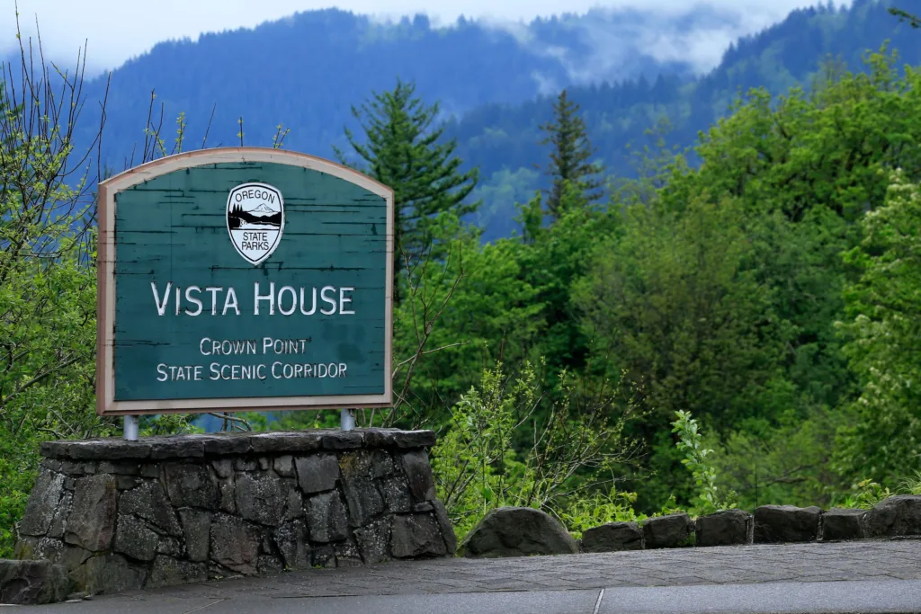
Region: Columbia River Gorge | Difficulty: No hiking required | Cost: Free parking
Vista House at Crown Point sits on a basalt bluff about 700 feet above the Columbia River, roughly 30 minutes east of Portland on the Historic Columbia River Highway. The parking area and exterior viewing terrace look straight up the Gorge to the east, where the sun comes from.
The building itself keeps seasonal hours, but the outdoor views work whenever the road is open.
Portland Women’s Forum State Scenic Viewpoint sits about a mile farther east on the same road. It gives you the classic shot of Vista House with the Gorge stretching behind it. That’s why so many Gorge photos have the same basic framing.
Timing and parking: Both lots are small. Arrive 30 to 40 minutes before sunrise on clear weekends. Check whether the Historic Highway section you need has seasonal closures or timed-entry requirements for your date.
Main caution: Wind at Crown Point can be brutal even in summer. Bring a windproof layer.
Angel’s Rest and Multnomah Falls: Is Sunrise the Right Time?
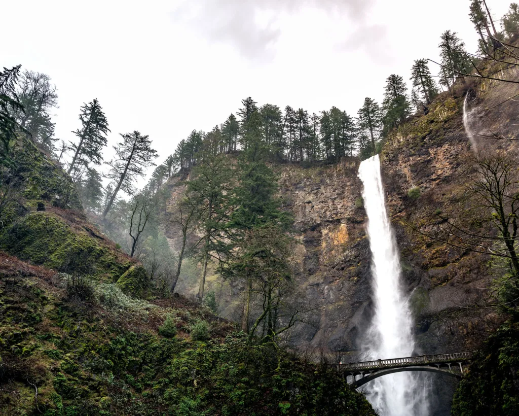
Angel’s Rest works well at sunrise. Multnomah Falls mostly doesn’t.
Angel’s Rest is a roughly 4.5- to 5-mile round trip with about 1,500 feet of gain. It ends on an exposed rocky promontory with a long east-and-west view up and down the Gorge.
It’s a real climb, and the final section crosses open rock where footing matters. The Eagle Creek Fire burned through much of this area in 2017, opening views along the upper trail but also leaving standing dead trees. Skip it on windy mornings.
Multnomah Falls is a different situation. The falls sit in a deep, north-facing basalt alcove, so the waterfall stays in shade well past sunrise and doesn’t catch direct morning light like an open viewpoint does.
The Multnomah Falls Trail climbs to the top of the falls, but the payoff there is the drop and the creek, not an eastern horizon. A timed-use permit system has applied to Multnomah Falls during peak season in recent years, so check current requirements before you go.
Treat it as a beautiful waterfall stop after your sunrise hike.
For more on what to expect from the Gorge’s waterfall hikes, plan them for mid-morning when the canyon light is more even.
Tom McCall Point, Rowena Crest, and Spring Wildflowers

Region: East Columbia River Gorge, near The Dalles | Difficulty: Easy viewpoint or moderate hike
Rowena Crest Viewpoint is a drive-up pullout on the Historic Columbia River Highway, with an open view over the famous highway loop and the river below. You don’t need to hike.
From the same parking area, the Tom McCall Point Trail climbs roughly 1,000 feet over about 3.4 miles round trip to an open summit. From there, you can see Mount Hood, Mount Adams, and the eastern Gorge.
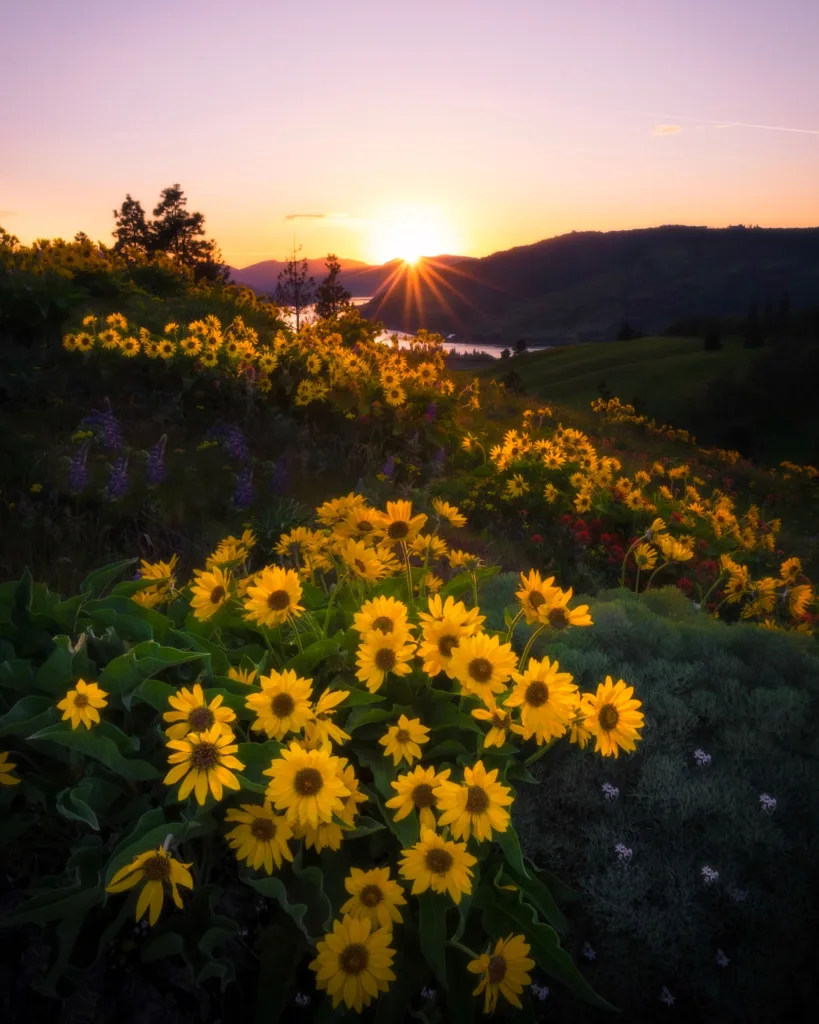
The Nature Conservancy manages the Tom McCall Preserve, one of the best wildflower spots in the state. Balsamroot and lupine peak in April and May, and the display keeps changing throughout spring.
Dogs: Dogs aren’t permitted anywhere in the Tom McCall Preserve, including the Rowena Crest trails. The rule protects rare plant communities, and staff enforce it strictly.
Timing: The Point Trail typically closes seasonally and often reopens around May 1 because of muddy conditions. Confirm the current status with The Nature Conservancy before you drive out.
Main caution: Ticks and poison oak are common here in spring. Stay on the trail.
Dog Mountain, Coyote Wall, and Hamilton Mountain Across the River
Across the Columbia on the Washington side, three trails face south and west toward Oregon. That changes the sunrise view: you watch the light hit the Oregon wall of the Gorge across the water.
Dog Mountain is the hardest of the three, climbing roughly 2,800 feet over about 6.9 miles round trip. During peak wildflower season, usually from late April through mid-June on weekends and holidays, you need a permit in addition to a Northwest Forest Pass.
Check the Forest Service permit page before planning a spring trip here.
Coyote Wall offers a gentler option, with a network of trails through open grassland and basalt cliffs. The lower trails are wide and easy to follow, and the open terrain gives you views almost immediately.
Hamilton Mountain in Beacon Rock State Park runs about 7.5 miles round trip and gains roughly 2,000 feet. The trail passes waterfalls before opening onto ridge views.
A Washington Discover Pass is required for parking here. That’s separate from any Oregon or federal pass you carry.
Main caution: All three trails are exposed and hot by mid-morning in summer. Starting at sunrise helps, but carry more water than the distance suggests.
Mount Hood Trails With Mountain Reflections and Big Views
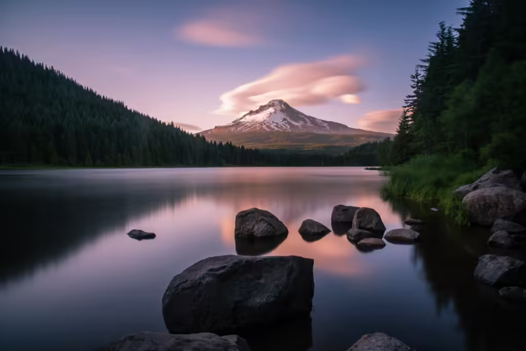
Mount Hood gives me Oregon’s most photographed sunrise setup: a still alpine lake with an 11,249-foot volcano catching the first pink light on its snowfields. Trillium Lake makes the view almost effortless, while Tom, Dick and Harry Mountain asks for a real climb and gives you a summit view over the lake you would’ve been standing beside.
Trillium Lake for the Simplest Mount Hood Sunrise
Region: Mount Hood National Forest, near Government Camp | Difficulty: Easy | Distance: About 2 miles around the lake, nearly flat
Trillium Lake is the best first sunrise hike in Oregon for a reason: the view is immediate. Walk from the day-use parking area to the lakeshore or the dam, and Mount Hood stands directly across the water.
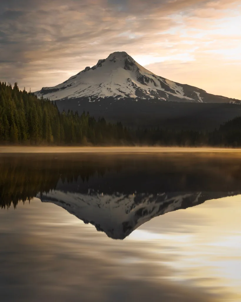
Calm mornings produce a mirror reflection, and the mountain catches alpenglow before direct light reaches the lake basin.
Timing and parking: The access road off Highway 26 is typically gated and snow-covered from roughly November through May. During that period, you’d need to ski or snowshoe in from a Sno-Park, and a Sno-Park permit is required.
On summer mornings, the lot still has space at 5 a.m., but it’s usually full by 10 a.m. A day-use fee or Northwest Forest Pass applies.
Dogs: Leashed dogs are allowed on the Trillium Lake loop.
Main caution: Mosquitoes are serious at this lake in June and July. Bring repellent.
Mirror Lake and Tom, Dick and Harry Mountain for a Longer Climb
Region: Mount Hood National Forest, near Government Camp | Difficulty: Moderate to hard
Mirror Lake sits about 1.4 miles from the trailhead on Highway 26 and offers its own Mount Hood reflection, with a short loop around the shore. If you continue past the lake to the Tom, Dick and Harry Mountain summit, the full outing runs roughly 7 to 9 miles round trip and gains about 1,700 feet, depending on where you turn around.
The summit sits on a rocky ridge with a clear look at Mount Hood and Mirror Lake below. On clear days, you can also see Mount Jefferson and the Three Sisters down the Cascade Range to the south.
That southern line of volcanoes lighting up in sequence is the reason I’d make the climb.
Timing: For a summit sunrise, budget two to three hours of uphill hiking in the dark. Most people should treat this as a hike-up-in-daylight, stay-for-sunset route unless they’re comfortable navigating switchbacks by headlamp.
Parking: The trailhead lot is off Highway 26 and requires a Northwest Forest Pass. It fills early on summer weekends. A Sno-Park permit applies in winter.
Main caution: Snow lingers on the upper ridge into early summer. Check recent trip reports.
Timberline Lodge and Timberline Trail Access Considerations
Region: Mount Hood National Forest | Elevation: About 5,960 feet
Timberline Lodge is the highest point you can drive to on Mount Hood, and the parking lot alone gives you a wide eastern view over the Cascade foothills. On clear mornings, you can see Mount Jefferson to the south from the area around the lodge.
Sunrise arrives earlier and feels colder at this elevation than anywhere lower on the mountain.
The Timberline Trail circles the mountain for about 40 miles and intersects the Pacific Crest Trail near the lodge. Short out-and-back walks from the lodge in either direction give you open alpine terrain within 20 minutes.
Timing and parking: The lodge access road is plowed year-round, making this one of the few high-elevation Mount Hood sunrise options in winter. Parking is free for hikers in designated areas, though ski-season lot rules change.
Confirm the current parking policy with Timberline before a winter visit.
Main caution: Weather at 6,000 feet can differ completely from conditions in Government Camp, 2,000 feet below. Wind chill is the main risk.
Snowfields persist well into summer, and the terrain above the lodge isn’t a casual walk.
How Snow, Forest Roads, and Passes Change the Plan
Snow is the biggest variable in Mount Hood sunrise planning, and it changes access for roughly half the year.
Three things shift with the season:
- Sno-Park permits. From November 1 through April 30, a Sno-Park permit is required at designated lots throughout Mount Hood National Forest, including Trillium Lake and Mirror Lake access.
Daily, three-day, and annual options are sold through Oregon DMV offices and many outdoor retailers.
- Gated forest roads. Roads like the Trillium Lake access spur close when snow arrives and reopen after the Forest Service clears them, typically in late spring.
A 2-mile lake loop becomes a 4-mile snowshoe approach.
- Northwest Forest Pass. In the snow-free months, most Mount Hood trailheads require a Northwest Forest Pass at $5 per day or $30 per year. The $80 America the Beautiful pass covers these too and adds national parks, which pays off if Crater Lake is also on your list.
Always check the Mount Hood National Forest alerts page and current road conditions the night before. Storm damage and fire closures can change access without much warning, and an unexpected gate can end the trip at 4 a.m.
If you’re heading up in the cold months, our guide to winter hiking gear covers traction devices and layering for exactly these conditions.
Central Oregon and Coastal Sunrises Worth the Early Alarm
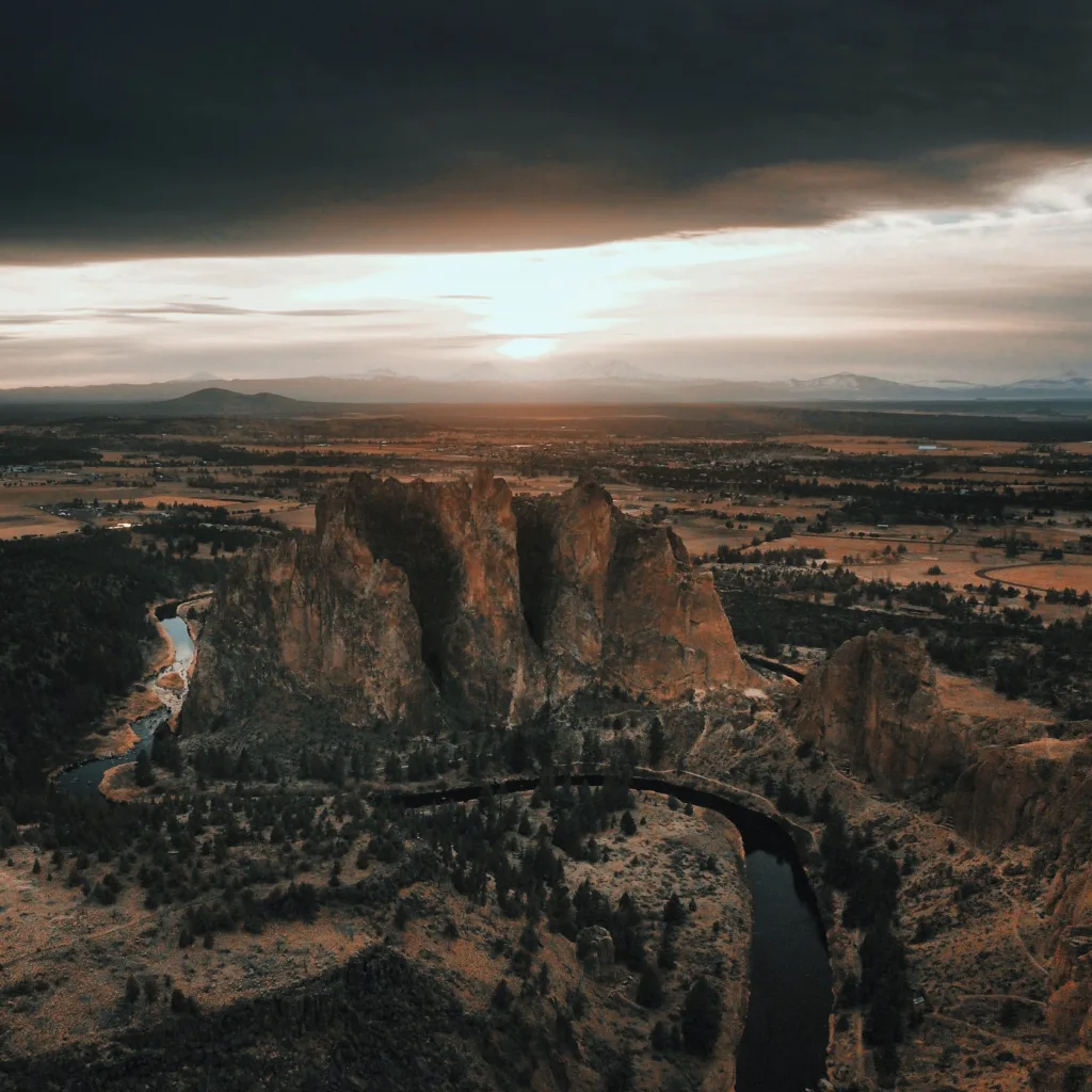
Central Oregon delivers some of the fastest, most dramatic light in the state because the high desert has no marine layer or forest canopy blocking the eastern horizon. The coast works differently: the sun rises behind you over the Coast Range, lighting sea stacks and headlands in soft gold while the ocean stays dark.
Misery Ridge at Smith Rock for Desert Light and a Steep Climb
Region: Central Oregon, 15 minutes from Redmond | Difficulty: Hard | Distance: About 4.2 miles round trip, roughly 900 feet of gain
The Misery Ridge Trail at Smith Rock State Park climbs steep switchbacks out of the Crooked River canyon to a bluff overlooking the park’s rock formations, Monkey Face spire, surrounding farmland, and Cascade peaks to the west.
The loop continues over the Mesa Verde Trail and returns along the River Trail beside the water.
Sunrise here is about the rock itself. The park’s welded tuff walls turn orange and red as the light reaches them, while the climbers who make Smith Rock famous haven’t started yet.
Timing and parking: Oregon State Parks charges a $5 day-use fee at Smith Rock, or you can use an annual State Parks pass. The main lot fills by mid-morning in spring and fall. At dawn, you’ll have your pick.
Dogs: Leashed dogs are allowed on park trails, including Misery Ridge. The steep, rocky switchbacks are hard on paws, and the climb has no shade.
Main caution: Summer heat is extreme here. Start early, or skip June through August afternoons entirely.
Tumalo Mountain and Tumalo Falls Near Bend
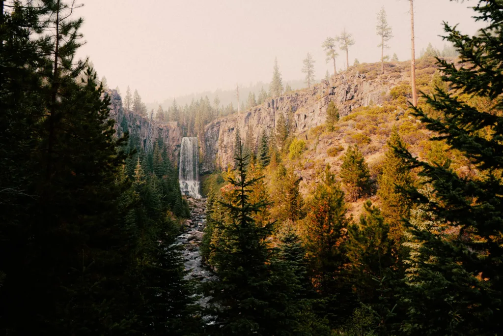
Tumalo Mountain is the summit option: about 4.4 miles round trip with 1,340 feet of gain from a trailhead directly across the road from Mount Bachelor Ski Area.
The summit is covered in red cinder and gives you a walk-around view of Mount Bachelor, Broken Top, the city of Bend, and the surrounding Cascades. Early summer brings wildflowers to the meadows near the top.
The climb is steady and steep, with little flat ground. Budget 90 minutes up for most hikers, and more if you’re hiking in the dark.
Tumalo Falls is the gentler choice: a 4-mile out-and-back along Tumalo Creek past a 97-foot waterfall. The trail gains about 600 feet through ponderosa pine and passes a series of smaller falls.
This is a forest hike, so you’re after light filtering through the trees rather than a horizon view.
Timing and parking: Both trailheads require a Northwest Forest Pass. The Tumalo Falls access road closes seasonally with snow.
Tumalo Mountain’s trailhead sits at the Dutchman Flat Sno-Park, which requires a Sno-Park permit in winter.
Dogs: Leashed dogs are allowed at both.
Main caution: Tumalo Mountain’s summit is fully exposed to wind.
Paulina Peak and Newberry’s Volcanic Lake Views
Region: Newberry National Volcanic Monument, south of Bend | Difficulty: Drive-up or moderate hike
Paulina Peak tops out at 7,984 feet on the rim of the Newberry Caldera, and I can drive most of the way there. The summit road is a rough, unpaved forest road that’s usually passable for high-clearance vehicles in summer.
I check conditions before going and skip it in a low sedan. From the top, I look down into the caldera at Paulina Lake and East Lake, across the Big Obsidian Flow, and out to the Cascade volcanoes.
The Paulina Peak Trail runs about 5 miles round trip with roughly 1,500 feet of gain if I’d rather walk. The Paulina Lakeshore Trail circles the lake for about 7.5 miles with 425 feet of gain, giving me an easier option that stays in the caldera.
Timing and access: Newberry’s roads stay closed under snow for much of the year and typically open in late spring or early summer. A Northwest Forest Pass or monument day-use fee applies.
Main caution: At nearly 8,000 feet, the rim is cold and windy before sunrise, even in July.
Broken Top and Green Lakes: When Permits and Access Allow
Central Cascades permits are the gating factor here, so I sort them out well before my alarm goes off.
The Green Lakes Trail, Soda Creek Trail, Broken Top Trail, and the South Sister climb all sit inside the Three Sisters Wilderness. A Central Cascades Wilderness Permit is required for day hikes on many trails from roughly late June through mid-October.
I reserve permits in advance through Recreation.gov, and popular dates sell out. A limited number are released a few days ahead.
The Green Lakes Trail runs about 9 miles round trip to alpine lakes between South Sister and Broken Top. No Name Lake, reached via the Broken Top area, requires driving a rough forest road that opens late in the season and punishes low-clearance vehicles.
Sunrise reality check: These are long approaches through alpine meadows at high elevation. For a sunrise arrival, most people backpack in and camp the night before. That requires an overnight wilderness permit and its own rules for campsite placement.
Main caution: Snow lingers in these basins into July. I check current conditions on the Deschutes National Forest site before committing to a permit date.
Cape Kiwanda, Cannon Beach, and Neahkahnie Mountain on the Coast
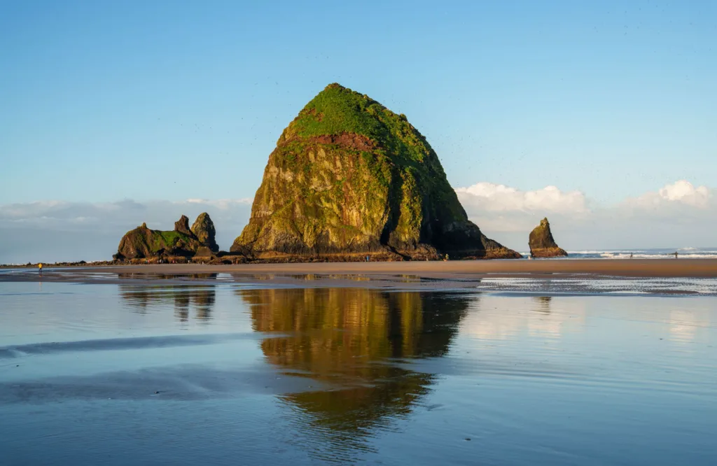
Cape Kiwanda at Pacific City has a short but demanding sand-dune climb to a headland above Haystack Rock and the Pacific Ocean. The dune is steep and tiring, though the walk itself is under a mile each way.
The sun rises behind the Coast Range, lighting the sandstone cliffs in warm color while the ocean stays dim. Parking is free at the beach access lot, though a nearby paid lot also exists.
Ecola State Park near Cannon Beach includes the Indian Beach area and the Clatsop Loop Trail, with viewpoints over Tillamook Rock Lighthouse and a long stretch of coastline. Oregon State Parks charges a $5 day-use fee here.
I check park hours because some coastal state parks gate their entrance roads overnight.
Neahkahnie Mountain in Oswald West State Park climbs roughly 3 miles round trip with about 900 feet of gain to a summit around 1,600 feet above the ocean. The view runs down the coast toward Manzanita.
The trailhead is small and easy to miss off Highway 101.
Dogs: Leashed dogs are allowed at Cape Kiwanda, Oswald West, and on Ecola’s trails.
Main caution: Coastal fog can erase the view entirely. I check the marine forecast, then read our guide to the best hikes on the Oregon Coast and Cannon Beach hikes for more headland options.
Stay Safe, Respectful, and Ready Before Dawn
Dark starts change the risk profile of a hike I’ve done a dozen times in daylight. Cold, limited visibility, and fewer people around all raise the stakes.
Most problems come down to gear I forgot or conditions I didn’t check.
What to Pack for a Dark Start
A headlamp is non-negotiable, and so is a backup. Phone flashlights eat battery fast and leave me holding the phone instead of using my hands. A basic 200-lumen headlamp costs under $30 and lasts years.
Beyond that:
- Extra batteries for the headlamp, stored somewhere warm
- An insulating layer plus a wind shell. Pre-dawn at a Cascade lake in July can sit in the 40s.
- Hiking boots or trail shoes with real tread. Dew-slick rock and roots are harder to see in the dark.
- Gloves and a warm hat, even in summer at elevation
- Water and food. A simple sandwich works fine. See our hiking lunch ideas if you want something better than a granola bar.
- A downloaded offline map. Cell service disappears in the Gorge canyons and across much of Mount Hood National Forest.
- A small first-aid kit and a whistle
- Traction devices from late fall through spring at any elevation
If I’m heading out by myself, our safety tips for hiking alone cover check-in plans and route-sharing habits that matter more in the dark.
How to Read Weather, Snow, Smoke, and Road Conditions
I check four things the night before: the point forecast for the trailhead elevation, the road status for my access route, the land manager’s alerts page, and the air quality index.
Mountain forecasts are elevation-specific. A pleasant 60-degree morning in Government Camp can mean 38 degrees with wind at Timberline.
I use the National Weather Service point forecast and enter the trailhead coordinates instead of the nearest town.
For roads, ODOT’s TripCheck shows highway conditions and closures. Forest roads are a separate question, so I check the relevant national forest’s website. Many Central Oregon and Mount Hood forest roads stay gated until late spring.
Smoke is the wildcard from roughly July through September. Wildfire smoke can drop visibility to nothing and make a sunrise view pointless even on a cloudless day.
AirNow gives current AQI readings. Anything above 100 is worth reconsidering, especially for kids or anyone with asthma.
Snow persists on north-facing slopes and high ridges far longer than most people expect. Recent trip reports on the Oregon Hikers forum or AllTrails give me the ground truth that a forecast won’t.
Can You Bring a Dog on a Sunrise Hike?
Dog rules vary by land manager, and the differences matter enough to check before I load the car.
Leashed dogs are allowed on most Mount Hood National Forest trails, at Smith Rock State Park, along the Trillium Lake loop, and at coastal state parks like Oswald West and Ecola.
Two significant exceptions in this guide: dogs are not permitted anywhere in the Tom McCall Preserve, and dogs are not allowed on most trails inside Crater Lake National Park, including Watchman Peak. Silver Falls State Park prohibits dogs on the Canyon Trail portion of the Trail of the Ten Falls.
Dark starts add specific dog considerations. A light-up collar or a clip-on LED keeps a dog visible. Cold pre-dawn ground is fine for most dogs, but hot rock later in the morning at Smith Rock is not.
Steep scree and rock scrambles, like the upper section of Tom, Dick and Harry Mountain, are rough on paws.
I keep the leash on. Wildlife is more active at dawn, and a dog that chases a deer into brush in the dark is a problem I can’t solve quickly.
For more on trail manners and gear, see our hiking with dogs resources.
Photography Basics for Sunrise Without Delaying the Group
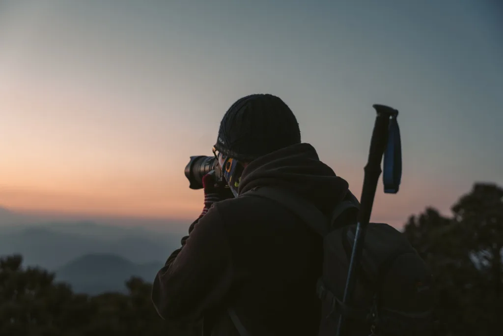
I set up before the light arrives, then shoot without fiddling. The window of good color lasts about 20 to 30 minutes, and anyone waiting on me will be cold.
A few practical habits:
- Arrive 20 minutes early. I find my composition while the sky is still gray.
- Bring a small tripod if you want sharp shots in low light. Phone photos in pre-dawn darkness will be noisy handheld.
- Shoot the pre-sunrise color. The best light at reflective spots like Trillium Lake often comes before the sun clears the ridge, when Mount Hood turns pink and the water is stillest.
- Wipe your lens. Condensation forms fast in cold air near water.
- Keep your phone warm. Cold drains batteries, sometimes to zero without warning.
At popular spots, I stand behind the person who got there first and don’t step into their frame. Tripods take up space, so I collapse mine when I’m done.
How to Follow Leave No Trace Around Lakes, Meadows, and Viewpoints
I stay on the established trail and off the vegetation, especially in alpine meadows and wildflower areas where recovery takes years.
The specific pressure points in Oregon:
Wildflower areas. Trillium, lupine, and balsamroot displays at Tom McCall Point and Dog Mountain draw thousands of people to fragile ground. Stepping off-trail for a photo compacts soil and kills plants.
I don’t pick flowers.
Lake shorelines. Alpine lakes like Mirror Lake and the Green Lakes have shoreline vegetation that erodes quickly under foot traffic. I use existing access points.
Summit viewpoints. Rocky summits accumulate social trails fast. I stick to the worn path.
Pack it out. That includes fruit peels and dog waste. Bagged waste left beside the trail is still litter.
Keep noise down. Dawn is when wildlife is most active. Speakers ruin the experience for everyone within earshot.
Silver Falls State Park and the Trail of the Ten Falls see heavy summer traffic on the Canyon Trail, and Abiqua Falls sits on a rough access road with erosion problems.
Both benefit from visitors who stay on the path and pack out what they bring, as do quieter spots like Ramona Falls on Mount Hood.
Choose the Route That Makes Sunrise Feel Manageable

Oregon’s sunrise options range from a five-minute walk at Rocky Butte to a permitted alpine backpack in the Three Sisters Wilderness. I’d choose the one I’ll actually get out of bed for. Beginners and anyone watching their budget can start with Trillium Lake, Powell Butte, or a drive-up Gorge viewpoint like Vista House.
The total cost is a $5 day pass, and the odds of making a dark-start mistake stay pretty low. After one trip, the pattern feels familiar: I check the sunrise time, leave about an hour early, pack a headlamp and an extra layer, and confirm road and permit status the night before.
I also follow Leave No Trace at whatever viewpoint I choose. The bigger routes, including Misery Ridge, Tumalo Mountain, Tom, Dick and Harry Mountain, and Neahkahnie Mountain, follow the same planning steps. They just add more time and elevation, so I pick the shortest one within reach of home, check the forecast, and set the alarm.