
Best Dispersed Camping in Oregon: Where to Camp Legally, Rules, and Top Areas
Free camping on public land is one of the best deals in Oregon, and I have spent years chasing it in my Jeep. Millions of acres of Bureau of Land Management and National Forest land across the state allow camping outside developed campgrounds at no cost. Dispersed camping in Oregon is legal on much of that land, but the specifics change constantly: stay limits, fire restrictions, seasonal closures, road conditions, and which spots are open all vary by land manager and by district. What works on a Deschutes forest road in September may be closed or under a fire ban the following July.
I write here as a camper who has driven a lot of gravel, not as a land manager. My notes about roads, views, and what a spot feels like come from personal trips. Every rule, distance, and limit needs to be checked against the ranger district or BLM field office that manages the ground you plan to sleep on. Do that homework, and you can string together weeks of free camping in Oregon on almost no budget.
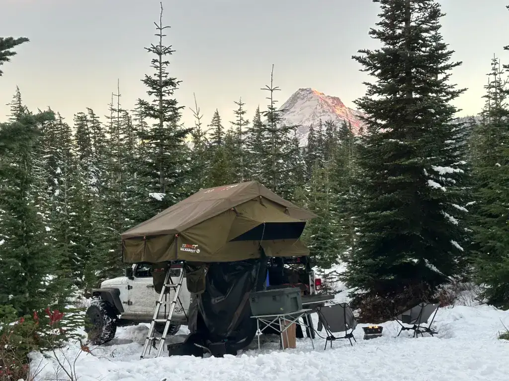
Always Verify Before You Go
Local restrictions on where camping is allowed (setbacks, designated corridors, closed areas)
Current fire restrictions and any statewide or district burn bans
Road, area, and seasonal closures (wildfire, snow, logging, washouts)
Road conditions and whether your vehicle can handle them
Stay limits for that specific forest or field office
Whether a permit or pass is required for parking or camping
Water availability and waste disposal expectations
Public versus private land boundaries
| Area | Best For | Vehicle Notes | Cell Service | Verify First |
| Mount Hood NF | Mountain views, trails | High clearance on spurs | Spotty to none | Weekend crowding, road closures |
| Tillamook State Forest | Coastal forest, rivers | 4WD helps on side roads | None | ODF camping rules, OHV areas |
| Crater Lake area | Lake access, pine forest | Any vehicle on mains | Spotty to none | Park rules vs. forest rules |
| Ochoco NF | Solitude, stargazing | Most vehicles on mains | None | Water sources, fire rules |
| Wallowa-Whitman NF | Big mountains, creeks | High clearance on spurs | None | MVUM road designations |
| Umpqua NF | Rivers, waterfalls | Any vehicle on mains | Spotty | Riverside setbacks |
| Rogue River-Siskiyou NF | River camping, fishing | Any vehicle on mains | Spotty | Seasonal fire closures |
| Steens Mountain | High desert, wide skies | 4WD/high clearance | None | Loop road opening dates |
| Deschutes NF | Lakes, easy Bend access | Any vehicle on mains | Spotty | Area-specific closures |
| Willamette NF | Mossy forest, hot springs | Any vehicle on mains | Spotty to none | Water setbacks, permits |
| Oregon Coast | Beach access | Any vehicle on mains | Spotty | Permits, dune rules |
Rules for Dispersed Camping in Oregon
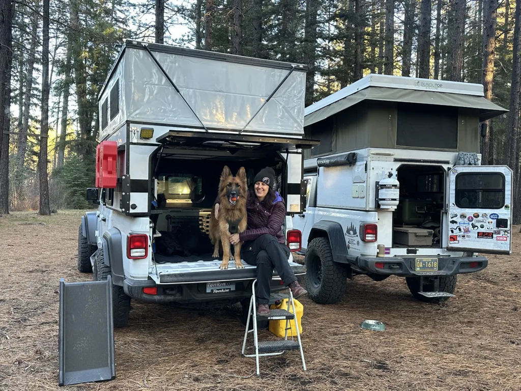
The core rules come down to stay limits, fire restrictions, waste, and distance from water, and each land manager writes its own version. Treat the points below as the questions to ask, then confirm the answers with the district office.
Stay limits. Many BLM field offices and National Forests in Oregon cap dispersed stays at 14 days within a set window, often 28 or 30 days, before you have to move a required distance away. The exact number and the move-on distance differ by office. State forest land managed by the Oregon Department of Forestry sets its own limits, and those have been tightened in recent years.
Campfires and fire rings. Oregon runs strict fire seasons. Restrictions can ban open flame entirely, limit you to enclosed stoves, or allow fires only in existing fire rings. Use established fire pits where fires are permitted, never build new ones, and check the current restriction level with the local ranger station or the Oregon Department of Forestry the day you travel. I have canceled fire plans more than once after a single phone call.
Leave No Trace and waste. Dispersed sites have no trash service and no toilets. Pack out every scrap of garbage, and bury human waste in a cat hole well away from water, or pack it out where required.
Where not to camp. Setback rules near lakes, streams, roads, developed campgrounds, and recreation areas vary by land manager and district. Check the current rules for your exact destination before you leave home.
Passes. Camping itself is usually free, but a Northwest Forest Pass or an Oregon State Parks day-use permit may be required if you park at certain trailheads or day-use sites. Check the sign at the lot.
How to Find Dispersed Camping in Oregon
Start with a map that shows land ownership, then confirm the road is legal to camp along. Oregon public land is checkerboarded with private timber parcels, and a wrong turn can put you on someone’s property without a single sign to warn you.
The Motor Vehicle Use Map (MVUM) for each ranger district is the free, official document that shows which forest service roads allow motorized use and, in many districts, where roadside dispersed camping is permitted. Download the PDF for your district before you leave home. It is the single most useful free resource for Oregon National Forests.
Tools I lean on:
- OnX Offroad or OnX Hunt for public and private boundaries in color, plus offline maps
- Campendium for recent reviews that mention road ruts, rig size, and cell signal
- iOverlander for crowd-sourced pullouts, strong for vans and truck campers
- The Dyrt for photos and reviews of Oregon campgrounds and free sites side by side
- freecampsites.net for a no-cost starting list with user directions
- Google Maps satellite view to spot clearings and turnarounds before committing to a spur
On the ground, use sites that already exist. Look for packed bare dirt, an old rock ring, or a flat pullout. Driving over living plants to make a fresh site is how these areas get closed. If a spot is taken, keep a backup or two saved offline, because cell service disappears fast once you leave pavement. Scouting this way is half the fun, and it costs nothing but fuel. My own approach to hunting free sites mirrors what I do for BLM boondocking anywhere in the West.
1) Mount Hood National Forest for epic mountain views and tons of trails
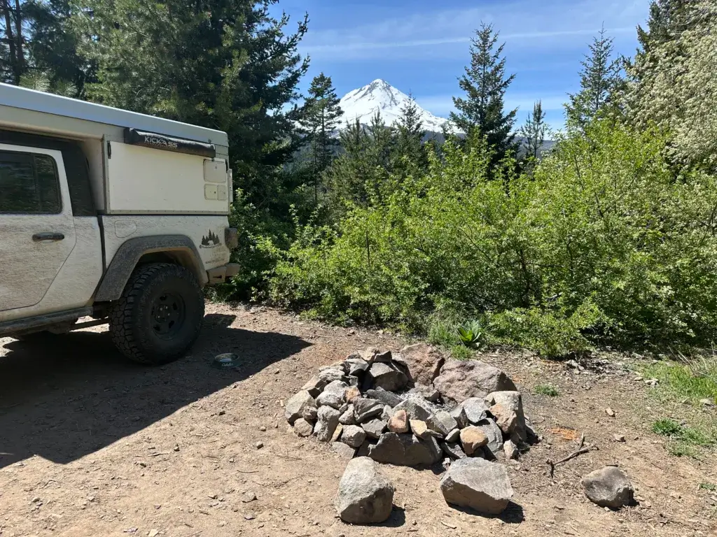
Mount Hood National Forest suits campers who want a big mountain view within a couple hours of Portland. Spurs off the main forest roads hold scattered pullouts, and on a clear morning you can watch first light hit the peak from your sleeping bag.
At a glance: best for mountain views and forested privacy, high clearance helpful on side roads, cell service spotty to none.
Trails leave from near many of these pullouts, so a short walk can put you at an alpine lake or a wildflower slope. Weekends fill early, especially anywhere near Trillium Lake. Arriving Thursday or picking a lesser-known road makes a real difference.
Areas I have explored: the Lolo Pass Road corridor (NF-18) holds several pullouts with views toward Mount Hood, and the roads near Trillium Lake (NF-2656) have dispersed spots that go fast in summer.
Confirm with the Mt. Hood National Forest ranger district which roads currently allow dispersed camping, whether your chosen spur is closed for snow or logging, and the active fire restriction level. Districts here adjust rules often.
Pack it in, pack it out. I have pulled into more than one beautiful spot already littered with cans and burned trash, and cleaning it up is the price of keeping it open.
2) Tillamook State Forest if you have a 4WD for those serene forest spots
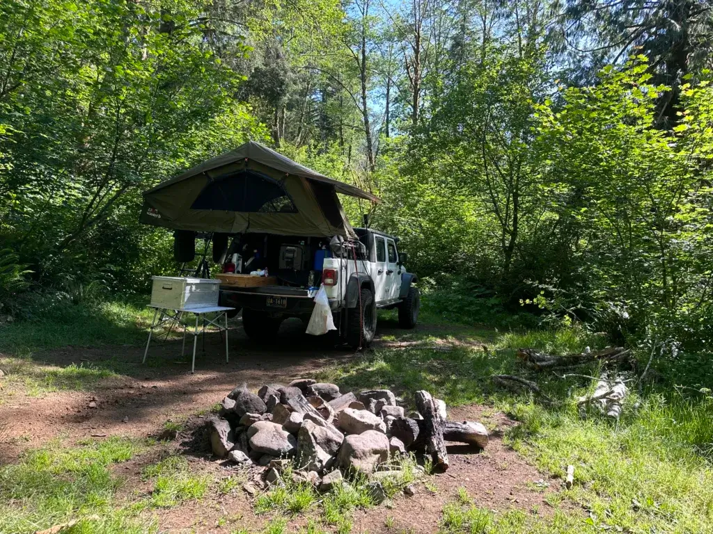
Tillamook State Forest works for campers who want dense coastal timber within about an hour of Portland. The land is managed by the Oregon Department of Forestry, so the rules differ from National Forest rules, and that catches a lot of first-timers.
At a glance: best for coastal forest and river access, most vehicles handle the main roads, 4WD opens up the better spurs, cell service essentially none.
Gravel logging roads climb into the Coast Range and open onto ridgelines with real views. There are hundreds of miles of off-highway trails here too, which means some areas get loud with quads and dirt bikes on summer weekends. If quiet is the goal, camp away from the OHV staging areas.
Areas worth scouting: the Cook Creek Road corridor is a known dispersed route, though narrow and better suited to smaller vehicles. Forest roads near the Nehalem River hold pullouts with water access, and some of those require high clearance.
Confirm the current ODF camping rules, stay limits, fire restrictions, and any active road closures with the Tillamook Forest Center or the district office before you go. Logging activity can shut a road with no notice.
Clear nights up on the ridges deliver stars you will not get closer to the coast.
3) Crater Lake area for stunning lakeside dispersed camping

Free camping near Crater Lake happens outside the park, on the surrounding National Forest land, and that is where budget campers should aim. The national forests that ring Crater Lake National Park allow dispersed camping, while the park itself has tight backcountry rules.
At a glance: best for park access on a budget, any vehicle handles the main roads, high clearance helps deeper in, cell service spotty to none.
Forest roads off Highway 138 north of the park are a reliable starting point. Sites sit among tall pines at elevation, which means chilly nights even in July. Pack a warmer bag than you think you need. The Mount Thielsen Wilderness area nearby offers more solitude for those willing to walk.
Inside Crater Lake National Park, camping outside designated sites requires a backcountry permit and a significant distance from roads and developed areas. Those rules are stricter than forest rules and are enforced.
Confirm with the surrounding ranger districts which roads are snow-free, the current fire restrictions, and stay limits before you commit. The season here is short, and snow can linger into early summer.
If you are bringing a pup, park rules limit dogs to certain areas, so read up on what is allowed at Crater Lake with a dogb efore you arrive.
4) Ochoco National Forest for a quieter, less crowded experience
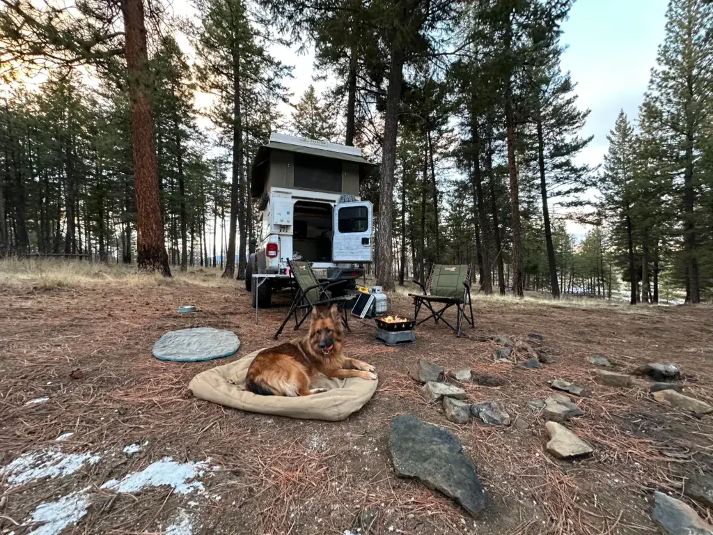
Ochoco National Forest is where I send people who want solitude without a long, technical drive. Northeast of Prineville, it sees a fraction of the traffic that Deschutes gets, and the ponderosa pine forest is open and easy to camp in.
At a glance: best for quiet meadows, wild horses, and dark skies, most vehicles manage the main forest roads, cell service none.
Sites here are informal pullouts along forest roads with flat ground under big pines. No signs, no kiosks. Roads toward Walton Lake hold a string of quiet wooded spots, and spurs off the main routes get you further from any traffic. The Crooked River country south of the forest adds canyon scenery and riverside options on BLM ground.
I watched a band of wild horses cross a meadow here at dusk, which is the kind of thing that keeps me coming back. The stargazing is some of the best in central Oregon.
There are no services out here at all. Bring your own water, fuel, and food.
Confirm with the Ochoco National Forest district office which roads are open for dispersed camping on the current MVUM, the fire restriction level, and stay limits. Some roads near Gable Creek and the wilderness edges have their own restrictions.
5) Wallowa-Whitman National Forest with beautiful mountain scenery
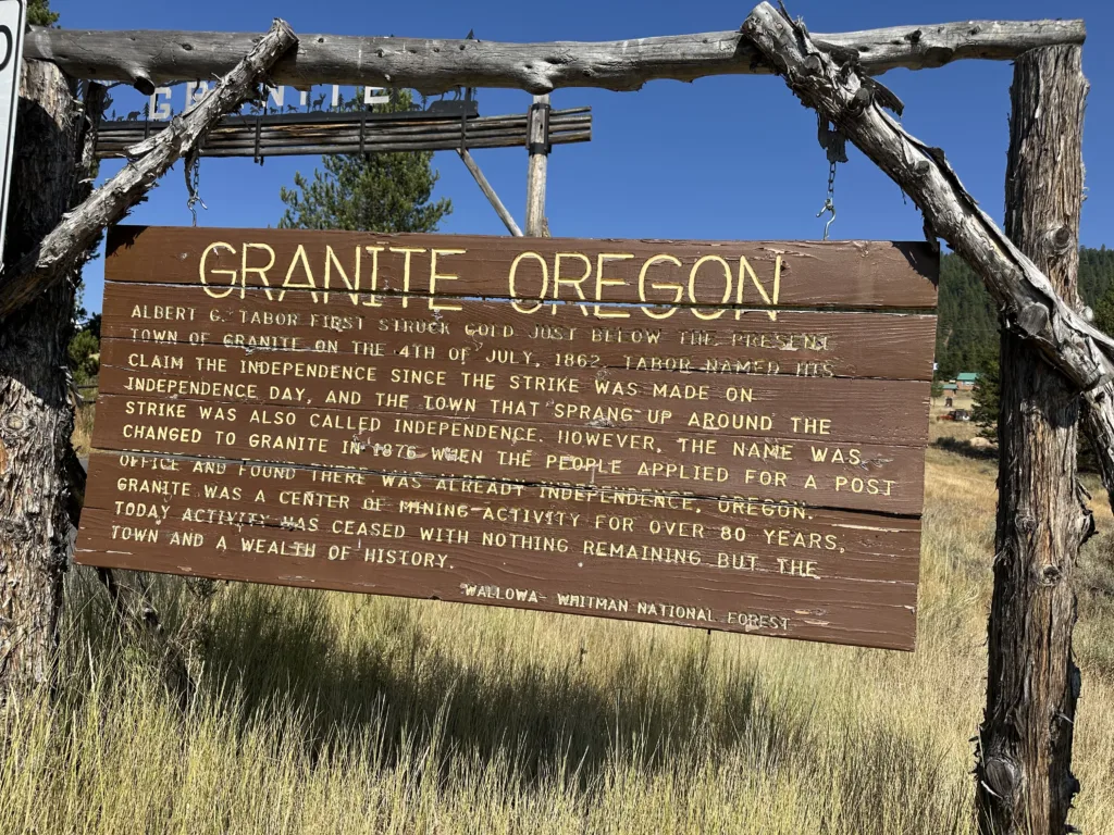
Wallowa-Whitman National Forest gives you roughly 2.4 million acres in northeastern Oregon, and it is the best place in the state to feel genuinely far from everything. Alpine peaks, glacier-carved valleys, and Hells Canyon above the Snake River all sit inside it.
At a glance: best for big mountain scenery and vast wilderness, high clearance recommended on side roads, cell service none.
Creek-side pullouts and quiet dirt roads are everywhere once you get off the highways. Near La Grande, the Spring Creek dispersed area is a well-known free option just off I-84, managed by the Forest Service and easy to reach without a rough drive. That one works well as a first night or a last night on a longer trip.
Higher roads toward ridges and trailheads take more clearance and open later in the season. Snow lingers at elevation into summer.
This forest has five ranger districts, each with its own MVUM and its own rules. Confirm with the specific district which roads allow dispersed camping, current fire restrictions, stay limits, and whether your route is open. Do not assume a rule from one district applies to the next.
Tell someone your plan before you head in. Cell coverage out here is nonexistent across huge stretches.
6) Umpqua National Forest’s diverse spots for a mix of forest and river views
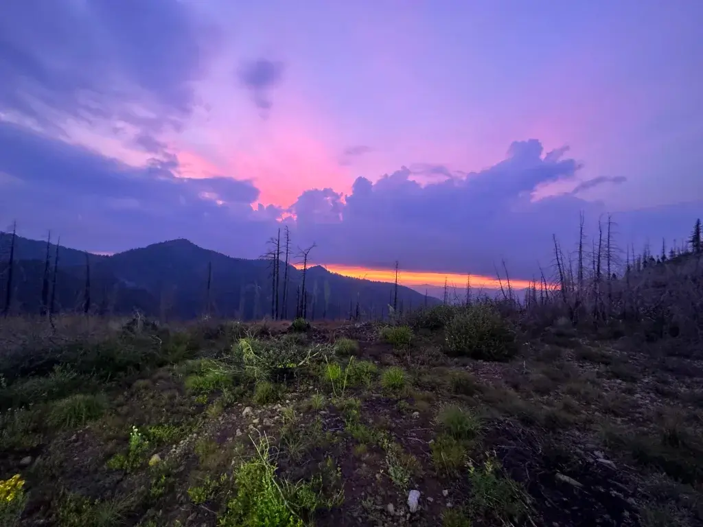
Umpqua National Forest pairs river camping with waterfalls and hot springs, which makes it a strong pick for a first dispersed trip. The North Umpqua corridor along Highway 138 keeps you near pavement while the sites feel remote.
At a glance: best for river views, waterfalls, and hot springs, any vehicle handles the main roads, cell service spotty to none.
Forest roads around Lemolo Lake hold several pullouts close to water and falls. Sites along Toketee-Rigdon Road put you near the North Umpqua River and the hot springs area, which draws crowds on weekends. Further from the highway, big firs and hemlocks close in and you get a private forest camp.
Open camp spots along forest roads off Highway 138 also serve as a good basecamp for the Mount Thielsen Wilderness, which sits between here and Crater Lake.
These are wild sites with no toilets and no trash cans. Mosquitoes near water in early summer are serious, so bring repellent and a head net.
Confirm with the North Umpqua or Diamond Lake ranger district which roads allow dispersed camping, how far from water you must camp, and the current fire restrictions. Riverside setbacks are enforced in this corridor.
Note that Cook Creek Road in the Tillamook area is a different road from anything here, despite similar names showing up on maps.
7) Rogue River-Siskiyou National Forest for peaceful river access
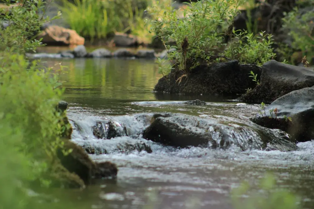
Rogue River-Siskiyou National Forest is the southern Oregon pick for river camping, fishing, and swimming without a long approach. Free sites cluster along the Rogue River corridor and side drainages, and many sit close enough to the water to hear it all night.
At a glance: best for river access and fishing, any vehicle handles the main roads, cell service spotty.
Pullouts along the Elk River, inland from Gold Beach, are a favorite of mine. Some sit steps from the bank, which makes for easy fishing and cold swims. Bear Camp Road has several clearings that rafters and hikers use as staging spots. Near the Wild and Scenic stretch of the Rogue, expect jet boats during the day and quiet after.
Camping here is about as casual as it gets. No hookups, no fees, just a flat spot and trees.
The camping season runs roughly May through October, with elevation controlling snowmelt, bugs, and afternoon thunderstorms. Confirm with the relevant ranger district, and this forest has five of them, which roads are open, the fire restriction level, and whether the corridor you want has designated camping areas. Southern Oregon fire closures can arrive early and stay late.
Pullouts in this corridor are a solid stop on a coastal loop from Oregon Coast hikes heading inland.
8) Steens Mountain for a unique high desert camping vibe
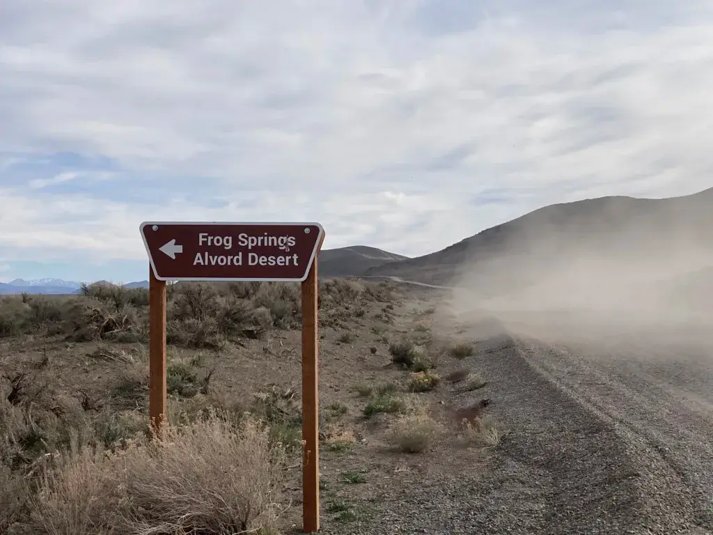
Steens Mountain is the trip for campers who want empty horizons and silence. This fault-block range rises straight out of the southeastern Oregon desert, and the loop road over it is one of the highest drivable roads in the Pacific Northwest.
At a glance: best for high desert scenery, hot springs, and wide open space, 4WD or high clearance strongly recommended, cell service none.
Dispersed camping on the BLM land here is widespread, with established sites and fire rings scattered along the Steens Mountain Loop Road and spurs off it. Many access tracks are short but rough, and they are not suited to trailers. Elevations reach past 7,000 feet, so nights get cold year-round and weather turns fast.
The Alvord Desert playa on the east side is a separate experience, flat and wide with hot springs nearby, and it becomes impassable when wet.
The loop road opens seasonally after snowmelt and closes again in fall. Confirm opening and closing dates, current road conditions, fire restrictions, and stay limits with the BLM Burns District before you drive out. Page Springs Campground near Frenchglen is a cheap fallback with water if conditions turn.
Fuel up in Burns or Frenchglen. Services out here are almost nonexistent, and there is no quick way back.
9) Deschutes National Forest offering great spots near the Cascade Range
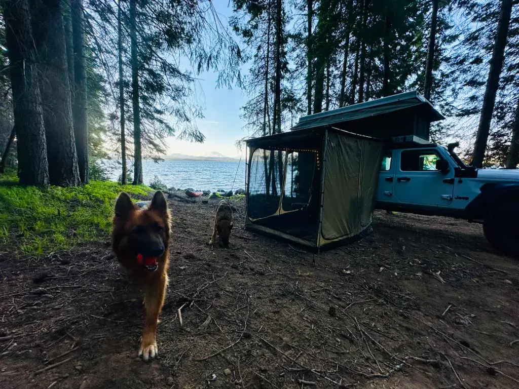
Deschutes National Forest offers the most dispersed camping road mileage in Oregon and the easiest access to a town, which makes it a great starting point for beginners. Bend sits right on the edge, so resupply is simple and the drier east-side climate means a longer usable season.
At a glance: best for pine forest, lakes, and volcanic landscapes, any vehicle handles the main roads, cell service decent near Bend and gone deeper in.
Forest roads along the Cascade Lakes Scenic Byway, including spurs near Hosmer Lake, give classic high-country camping among pines and water. Roads southeast of Bend run through open pine forest with easy pullouts, though some corridors close periodically for maintenance or resource protection, so check status before you drive out. Further east, the Oregon Badlands dispersed areas near Badlands Rock offer desert camping on BLM ground with a different feel entirely.
This forest gets busy in summer. Midweek arrivals and less obvious spurs solve most of that.
Confirm with the Bend-Fort Rock, Sisters, or Crescent ranger district which roads are currently open for dispersed camping, plus fire restrictions and stay limits. Popular corridors here sometimes shift to designated-site-only camping.
For a longer stay in one of these spots, my notes on truck camper boondocking cover how to stretch water and power.
10) Willamette National Forest if you want lush green landscapes
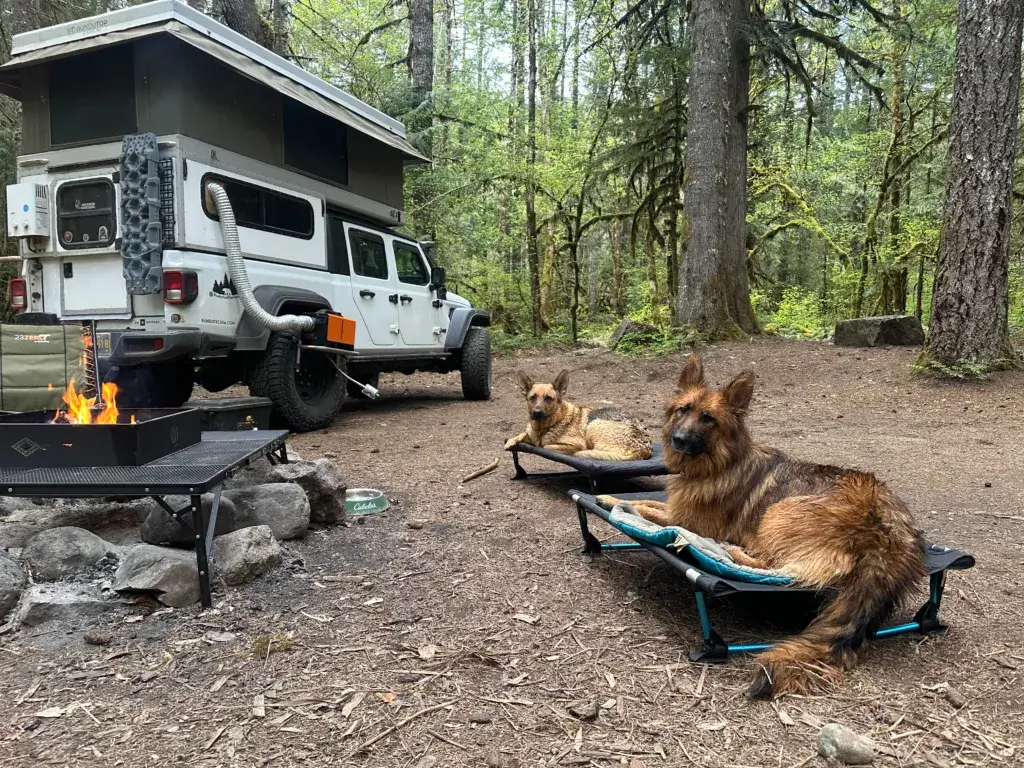
Willamette National Forest delivers the mossy, misty Pacific Northwest look people picture when they think of Oregon. Huge trees, waterfalls, hot springs, and streams that appear around every bend.
At a glance: best for green forest, waterfalls, and hot springs, any vehicle handles the main roads, cell service spotty to none.
Forest Road 19, the Aufderheide Drive, has numerous riverside pullouts, especially near Cougar Reservoir and the Box Canyon area. Along the McKenzie River corridor, look for pullouts off NF-2600, and keep your camp the required distance back from the water. Forest rules here call for a setback from streams and lakes, and this is a corridor where that gets checked.
The forest is large enough that crowds are manageable outside the hot springs areas. Nights get cold and damp even in August, so bring extra layers and a dry change of clothes. A complete camping packing list helps if you are new to sleeping in wet forest.
Confirm with the McKenzie River, Middle Fork, Sweet Home, or Detroit ranger district the current road closures, fire restrictions, required water setbacks, and any permit requirements for trailhead parking.
11) Painted Hills Dispersed Camping
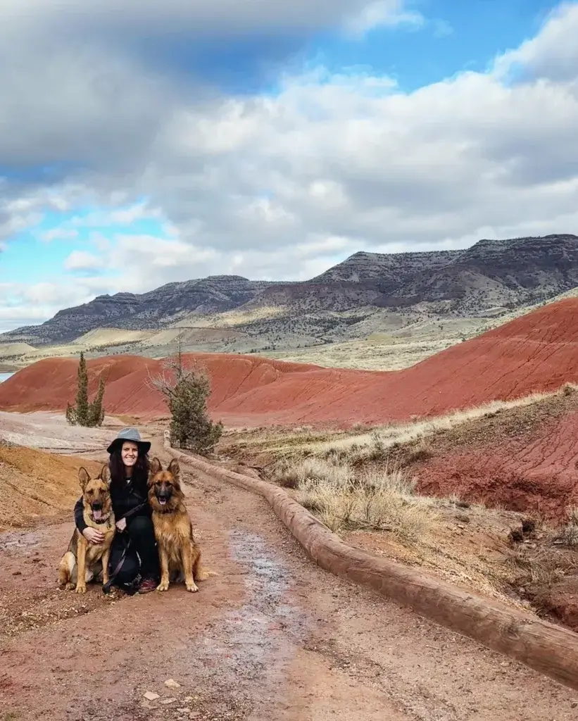
The Painted Hills area gives you striped clay hills and some of the darkest skies in Oregon, with free camping on nearby BLM land. Camping is not permitted inside the John Day Fossil Beds unit itself, so plan to sleep outside it.
At a glance: best for geology, photography, and spring wildflowers, any vehicle on the main roads, high clearance for deeper dirt, cell service none.
Priest Hole Recreation Site is the best-known free option, a BLM dispersed area along the John Day River with flat ground near the water. The road in is dirt and can get greasy when wet. Carroll Rim Trail nearby is a short climb with a wide view over the hills, and it is worth timing for late afternoon light.
Summer heat out here is intense with almost no shade. Bring far more water than you expect to drink.
Confirm current conditions, road access, stay limits, and fire restrictions with the BLM Prineville District before heading out. River-adjacent sites can flood or close seasonally.
12) Owyhee River Dispersed Camping
The Owyhee country in southeastern Oregon is the most remote camping in the state, and it demands a capable vehicle. Red rock canyons, sheer cliffs, and dirt roads that run for hours without another car.
At a glance: best for extreme isolation, desert canyons, and off-roading, 4×4 and high clearance required, cell service none.
Three Forks Recreation Site offers riverside dispersed camping deep in the canyon, reached by a long and rough road. Leslie Gulch, on the west side of Owyhee Reservoir, delivers dramatic rock formations and a developed primitive area. The broader Owyhee Canyonlands hold countless quiet spots along the river for those equipped to reach them.
Roads here turn to impassable clay after rain, and recovery help is a long way off. Carry recovery gear, extra fuel, a full water supply, and a satellite communicator.
Confirm road conditions, current access, fire restrictions, and camping rules with the BLM Vale District before you commit. Conditions change fast and access points can close.
12) The Oregon Coast
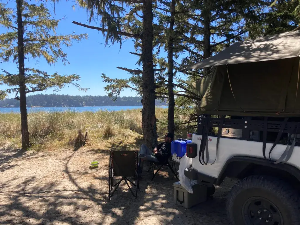
Free dispersed camping directly on the Oregon Coast is limited, because most of the beachfront is state park, private property, or protected habitat. The workable strategy is to camp on inland forest land within 20 to 40 minutes of the water.
At a glance: best for ocean access on a budget, any vehicle on the main forest roads, cell service spotty.
Some coastal areas sit near migratory bird habitat with seasonal restrictions, so read posted signs closely.
North & Central Coast
- Tillamook State Forest (Trask and Nehalem River areas): free dispersed sites along forest roads and rivers, first come first served, good for fishing and close enough for a beach day
- Clatsop State Forest (inland from Astoria and Cannon Beach): ODF land with forest road camping, rules differ from federal land
- Drift Creek and Siuslaw National Forest (near Lincoln City and Waldport): pullouts on forest service roads, quiet and wooded, roughly 20 to 30 minutes from sand
- Siltcoos and the Oregon Dunes National Recreation Area (near Florence): open sand camping in designated areas with a permit, popular with off-road vehicles, expect engine noise near Siltcoos Lake
- South Jetty area (Florence): part of the dunes NRA, permit required, busy in summer
South Coast
- Horsfall Beach area (North Bend and Coos Bay): open sand camping in the dunes NRA with ocean access, inexpensive permit required
- Bastendorff Beach County Park (near Coos Bay): a county park with low-cost overnight options right by the beach
- Elliott State Forest (inland from Reedsport and Coos Bay): state forest roads with primitive camping, rough access in places
- Rogue River-Siskiyou forest roads inland from Gold Beach: quiet wooded pullouts near the river
- Humbug Mountain area (near Port Orford): the state park campground charges a fee, with forest road options nearby
Confirm permit requirements, fees, and seasonal closures with the Siuslaw National Forest, the Oregon Dunes NRA office, or the Oregon Department of Forestry, depending on whose land you are on. Dune permits and beach driving rules change by season.
Understanding Dispersed Camping in Oregon
Dispersed camping means overnighting outside a developed campground, typically on National Forest or BLM land, with no fee and no facilities. It goes by boondocking, primitive camping, and remote camping depending on who you ask, and in Oregon it covers everything from tent camping under coastal firs to a truck camper parked on a desert rim.
The Basics: What to Expect
Expect nothing provided. No potable water, no vault toilets or pit toilets, no trash service, no picnic table, no level pad. Some dispersed camping areas near popular trailheads have a pit toilet nearby, but assume they do not.
You choose the spot, which means finding flat ground, checking overhead for dead branches, and confirming you are on public land. Arrive with daylight left. Hunting for a site in the dark on an unfamiliar forest road is how people end up sleeping in a ditch or on private timber ground.
Download your maps before you lose signal. Cell service fails within minutes of leaving the highway in most of these areas.
If this is your first trip off pavement, a warm-up at a developed site helps. My guide to first time camping covers the basics before you go fully off-grid.
Essential Gear and Supplies for Your Trip
The gear list for dispersed camping is short but nonnegotiable:
- Sleeping setup: warm bag rated below the low you expect, insulated pad, tent that handles wind and rain
- Cooking: portable stove and fuel, cookware, and food that does not need refrigeration
- Water: 1 to 2 gallons per person per day, plus a filter as backup
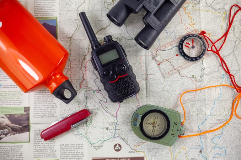
- Navigation: offline maps, the district MVUM, and a paper map with a compass
- First aid kit and any personal medications
- Clothing layers: rain gear, warm hat, and more socks than seems reasonable
- Trash bags, a trowel for cat holes, and a headlamp
Oregon weather flips fast in the mountains. I have started a day in shorts on a Deschutes forest road and ended it in a puffy jacket..
Find Hidden Campsites with the ONX Offroad App
The ONX Offroad app is the tool I reach for most when scouting new ground in Oregon. It is built for backroads and public land, not city driving, and it shows National Forest and BLM boundaries clearly enough to keep you off private property.
What makes it useful for dispersed camping:
- Offline maps you download before service disappears
- Land ownership layers so you know whose ground you are on
- Road and trail detail including surface type and difficulty, helpful if you are in a 4WD or towing nothing at all
- Waypoint marking to save a good pullout for next season
Several of my favorite spots in Oregon came from following a colored public-land boundary on this app down a road with no name. Always cross-check what you find against the district MVUM and current closure notices, since app data can lag behind official orders.t.
👉 Try ONX Offroad here and start finding your next hidden camping spot.
This post contains affiliate links. I earn from qualifying purchases at no extra cost to you. I only recommend products I use and believe in.
Tips for a Safe and Enjoyable Adventure
Safe dispersed camping in Oregon comes down to preparation and restraint: know where you are, carry what you need, and leave the site better than you found it. The rest is hiking, swimming, wildlife viewing, and stargazing on your own schedule.
Leave No Trace: Respect Nature & Wildlife
Follow the Leave No Trace principles and these places stay open. Pack out every piece of trash, including food scraps and wrappers, so animals do not learn to associate campsites with meals.
Use an existing fire ring when fires are permitted, and check restrictions first. During fire season, a camp stove is the responsible choice across most of Oregon. Never leave a fire unattended, and drown it until the ashes are cold to the touch.
Wash dishes and yourself at least 200 feet from any lake or stream, using biodegradable soap and scattering the water. Bury human waste in a 6 to 8 inch cat hole the same distance from water, or pack it out where required.
Watch wildlife from a distance. Feeding animals changes their behavior and puts the next camper at risk. In spring and early summer along the coast and in wetland areas, give migratory birds a wide berth and respect posted seasonal closures.
Camping with pups adds responsibility here. My notes on wild camping with a dog cover leash discipline, waste, and wildlife encounters off-grid, and if you travel with more than one, camping with multiple dogs covers the logistics.
Navigating Oregon’s Unique Landscapes
Carry a paper map and compass alongside your phone. Service fails in exactly the places you most want to camp, and a dead battery in the Wallowas is a real problem.
Even when you find a spot in advance on an app, have two backups saved offline. Sites get taken, roads get gated, and improvising at dusk with no plan is miserable.
Weather changes quickly, especially at elevation. Layers, rain gear, and extra water handle most of it. Forest roads can deteriorate into ruts and washouts, and a high-clearance vehicle saves the day more often than not. Turn around if a road looks worse than your rig can handle. Nothing at the end of it is worth a recovery bill.
Tell someone your route and expected return before you leave pavement. Rules vary by forest and district, so check the specific district page for the ground you are heading to.
Essential Gear for Oregon Dispersed Camping
Off-grid means you supply everything. After years of truck camper trips, these are the items I never leave behind:
1. Water storage. Bring all your drinking, cooking, and dish water. Plan on 1 to 2 gallons per person per day. Rugged jugs that seal properly matter on washboard roads.
2. Portable power. A power station keeps phones, cameras, and a laptop alive when there is no outlet for 50 miles. Mine charges off solar during the day.
3. Dog gear. Oregon forest floors are damp, muddy, or covered in pine needles. An elevated cot keeps my German Shepherds off cold ground and packs down small. More tips in my guide to camping with dogs.
4. Leveling blocks. Forest roads are almost never flat. Stackable blocks get a truck camper, van, or rooftop tent level enough to sleep.
5. Bear spray and bug repellent. This is black bear and cougar country, especially in the Cascades and coastal forests. Keep spray accessible. Mosquitoes near the Cascade lakes in July are brutal.
Final Thoughts on Free Camping in Oregon
Oregon makes free camping easy to pull off if you plan a little. Pick an area that matches your vehicle and your tolerance for rough roads, download the district MVUM and offline maps, pack all your own water, and call or check the ranger district for fire restrictions and closures within a day or two of leaving.
Use existing sites, keep your distance from water, and pack out everything. The spots described here are real places I have camped, but roads close, rules tighten, and fire seasons rewrite plans every summer. Verify before you drive, carry a backup site, and arrive with daylight to spare.
Frequently Asked Questions
Is dispersed camping free in Oregon?
Yes. Dispersed camping is free on most BLM and National Forest land in Oregon. There is no overnight fee, but you pack out all trash and waste, supply your own water, and follow the stay limit for that district. Some areas, like parts of the Oregon Dunes National Recreation Area, require an inexpensive permit even for primitive camping.
Do I need a permit to dispersed camp in Oregon?
A permit is usually not required for dispersed camping on Oregon National Forest or BLM land. Parking at a developed trailhead can require a Northwest Forest Pass or an Oregon State Parks permit. Wilderness areas in the Central Cascades have their own limited-entry permit system for overnight use. Dune and beach camping areas on the coast may require a permit. Check the specific district before you go.
Can you camp anywhere in an Oregon National Forest?
No. Most Oregon forests require camping a set distance from lakes and streams, commonly 100 to 200 feet, and many districts prohibit dispersed camping within a mile of a developed fee campground. Some roads and areas are closed to camping entirely. The district MVUM and current closure orders tell you where camping is allowed.
Is it safe to dispersed camp in Oregon?
Dispersed camping in Oregon is safe for prepared campers. Because these areas are remote, carry a first aid kit, extra water, and warm layers, and be aware that black bears and cougars live in the Cascades and coastal forests. Cell service is rarely available, so tell someone your location and expected return time before you leave pavement.
Are campfires allowed when dispersed camping in Oregon?
It depends on the current fire restriction level for that district, which changes throughout the season. Fires in existing rings are often allowed during wetter months, and Oregon enforces strict bans in summer and early fall that can prohibit open flame entirely. Check with the local ranger station, the BLM field office, or the Oregon Department of Forestry the day you travel.